One of the temptations of being near the Sierra Nevada mountains in August or September is to hike through the Sierra mountains and wilderness. It is obviously possible most months of the year, but August or September is a favorite time because of the weather and the associated conditions of the trails and streams.
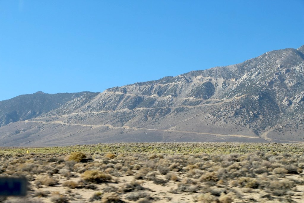
And one way to get there is via a unique road, the Horseshoe Meadows Road.
One of the highest paved mountain road in the Sierra
The native americans who lived in these mountains used trails through these mountains for trade, seasonal travel, hunting and the movement of goods between the Owens Valley and the Western side of the Sierra mountains.
Then the white men took control of the mountains and started constructing roads. Among them HorseShoe Meadows Road in the Eastern Sierra Nevada. It is a road with a complex history involving logging, ambitious highway planning, and a canceled ski resort.
Initially the high elevation meadows where sought after by ranchers in drought years. Often the meadows had plenty lush grass powered by the snow melt when lower elevation grasslands where barren. The trails were used (and created) to move the cattle up and down the mountains.
Additionally, a great number of the roads in the Sierra were created in support of the gold rush or similar mining operations in the early 1900s. The Horseshoe Meadows Road (at least the initial 12 miles or so) is no exception. In order to support mining operations, construction timber was needed. This came from logging the higher elevation trees. That timber needed to be transported down to where the mining operation was located. Thus, in 1920, a road was constructed. What was initially just a trail for the mules, was widened and surfaced to allow cars to drive to the mines and logging sites.
The logging road was later integrated into plans for the Lone Pine to Porterville High Sierra Road, intended to be part of California State Route 190 (LRN 127). Construction halted in 1929 due to inadequate equipment and terrain challenges, leaving the route incomplete for decades.
While the road was originally part of a state highway plan with funding from the State of California and the City of Los Angeles (seeking water rights and access) in the 1920s and 30s. The plan was for a mountain highway from Lone Pine in the East to Porterville on the West side of the Sierras. Although the route was officially adopted into the state highway system in 1933, the Great Depression and World War II diverted funding and resources away from such massive infrastructure projects.
The final nail in the coffin came in the 1960s and 1970s with the rise of the environmental movement. And so, this planned East-West Sierra corridor was never actually build.
In the 1960s, efforts resumed to complete the road, at least to the high altitude meadows, following proposals for a ski resort development at Trail Peak. An extension of the road to higher elevations was finished by 1967. Although the ski resort plans were eventually abandoned due to environmental concerns and the Wilderness Act of 1964, the road was fully paved in the 1980s.
The push to fully pave the road was driven by its growing importance as a recreational access point for the Sequoia National Forest and the John Muir Wilderness, replacing the earlier dirt surface that had existed since the road’s extension in 1967.
The Horseshoe Meadows Road serves as one of California’s highest paved roads, ending at over 3,000 meters, (10,072 ft) elevation in Horseshoe Meadows. It is now a popular access point for hiking, cycling, and hang gliding. Some regret that its construction destroyed historic trails and sites.
Hiking in the wilderness
You need a permit to travel through the wilderness, a system aimed at reducing or regulating human impact on the wilderness. Luckily for those who don’t plan months in advance, a portion of available permits (e.g., 40% for Cottonwood Pass) are reserved for walk-ins at the Eastern Sierra Interagency Visitor Center in Lone Pine, typically available day-of.
Camping is permitted virtually anywhere in the wilderness area provided you camp on durable surfaces and stay at least 100 feet from water and trails.
This is black bear country, so you do need a bear proof canister for food storage and if you happen to meet a ranger, they will ask you to show it if it is not visible on your pack. I borrowed one.
Mosquitos are present but diminishing compared to July; the “sweet spot” for minimal bugs and clear trails is mid-August to September.
Cottonwood Lakes and Mt Langly Loop
One of the better known trails available is a Cottonwood Lakes Loop, which can start and end on the Horseshoe Meadows.
In summary the hike goes: Horseshoe Meadows → Cottonwood Lakes (Lakes 1–6) → New Army Pass → Mt. Langley (side hike) → New Army Pass → PCT → Trail Pass → Horseshoe Meadows.
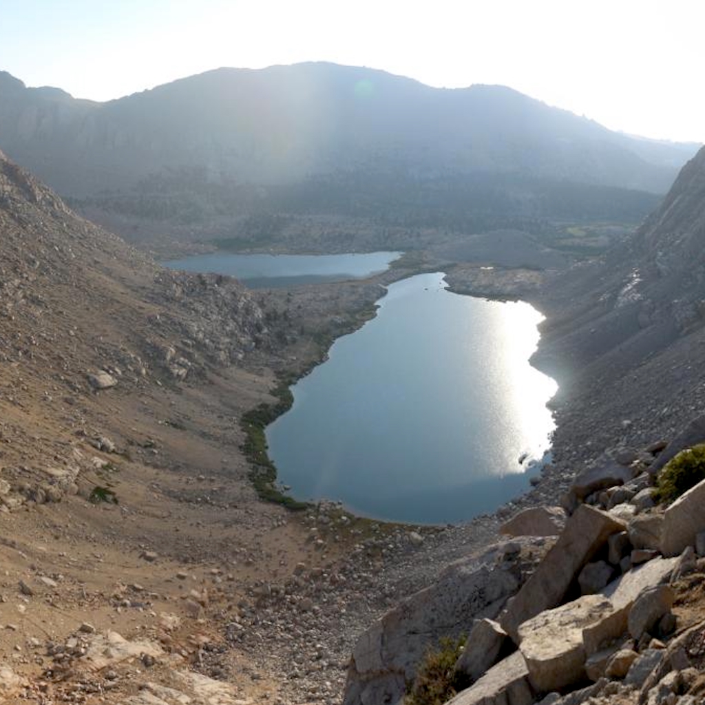
I start day one at the Cottonwood Lakes Trail head. The trail gently ascends through forest and meadows, passing Long Lake and High Lake. Continue into the basin to visit Lakes 1 through 6.
After less than 7 miles, day one ends making camp near Lake 5.
For the 2nd day I aim for Mt. Langley via New Army Pass. First task is to move camp to just West of New Army Pass. So I hike up the steep switchbacks of New Army Pass (1.5 miles from Lake 5).
The actual side trip to Langley is a loop, so I leave my main pack at camp. From the pass (12,300 ft), traverse the high plateau westward toward Mt. Langley. The initial trail is not difficult. The final ascent is a Class 2 scramble up loose scree. The climb is strenuous due to altitude but short. I don’t actually reach Langley’s summit, as I stop ascending at a moon like crater landscape about 91m (300ft) below the summit. Then return back to camp next to the N ew Army Pass.
It turns out to be a less than 8 miles round-trip day two.
The third day starts from the New Army Pass camp, descend into Sequoia National Park, then traverse east on the PCT to Trail Pass, and descend back to Horseshoe Meadows to complete the loop.
This day is 7 miles.
Altogether a somewhat leisurely trip with low daily milage, albeit at high altitude with noticeable elevation changes.
Nuclear test
This is a hike at high elevation and consequently it provides ample opportunity for spectacular views. One of the hikers who I encountered near lake #5, she came from the opposite direction, is a veteran of these mountains. She reminded me: Around June 30, 1957, when I was six, we camped at Whitney Portal. My father woke us in the middle of the night to look East across the Owens Valley to see what looked like the sun coming up. It was a nuclear test in Nevada.
Those nuclear test locations are approximately 200 miles to the East of the Cottonwood Lakes Basin. The explosions, particularly the atmospheric detonations between 1951 and 1963, produced intense flashes of light that could be seen hundreds of miles away.
Although the Sierra high country was not directly in the primary fallout path for most tests, the radiation fallout posed more significant concerns than the light itself. Atmospheric conditions could carry radioactive particles far beyond the immediate test zone.
Perhaps a reminder that even at these high elevations, in remote mountain meadows, at the end of a road to nowhere, modern life is never too far away.